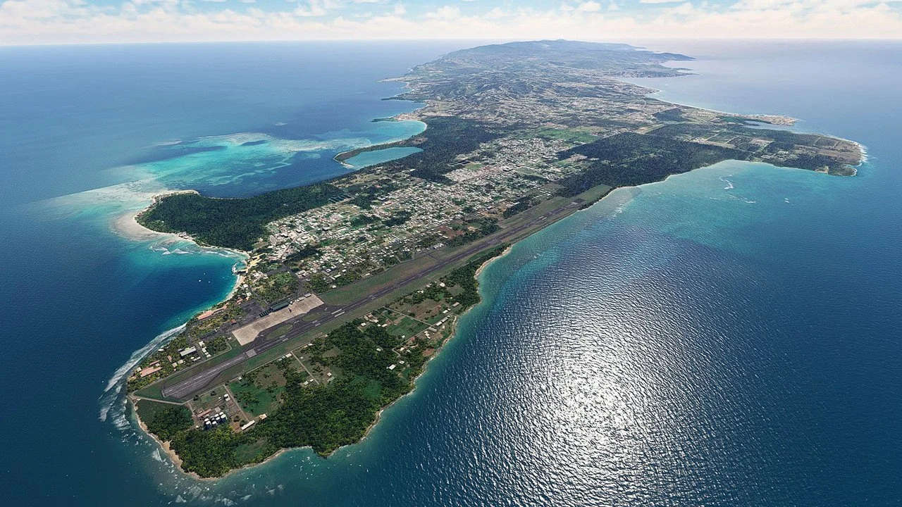
THE ISLAND - DISCOVER THE UNTOUCHED BEAUTY OF TOBAGO
Twin of the sister island Trinidad, Tobago presents one of the most uniquely untouched locations in the Caribbean.


Key Facts:
Country: Trinidad and Tobago
Island: Tobago
Capital: Scarborough (Tobago)
Climate: Average Temp. High - 31°C (87°F) Average Low - 21°C (69°F)
Currency: Trinidad and Tobago Dollar (TT$)
Attractions / Annual Events
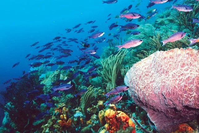
Tobago: Buccoo Reef Marine Park - The Nylon Pool - Argyle Waterfall - Main Ridge Rainforest Reserve - Pigeon Point Heritage Park - Tobago Jazz Experience - Bago Carnival - Blue Food Festival - Annual Goat Race
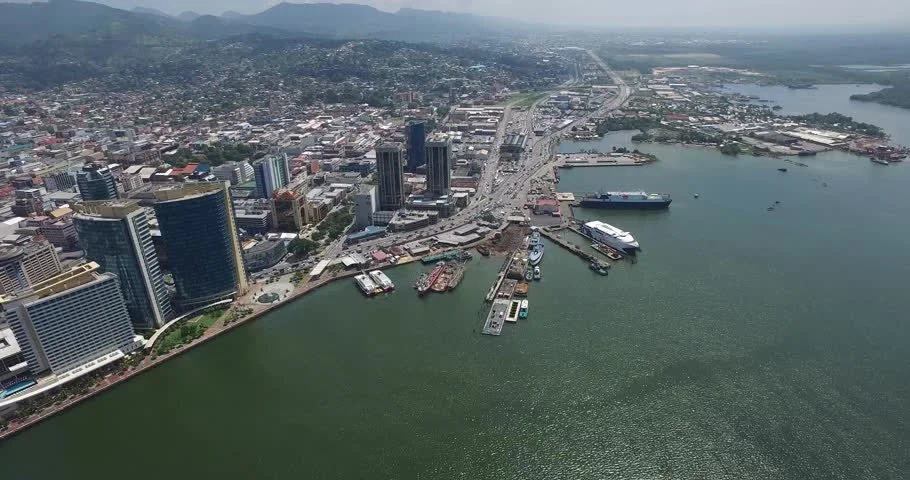
Trinidad: Trinidad and Tobago Carnival - Maracas Bay Beach - Queens park Savannah - Caroni Swamp and Bird Sanctuary - National Academy for Performing Arts - Bamboo Cathedral - Eric Williams Financial Complex - Las Cuevas Beach - Asa Wright Nature Centre
Tobago’s Main Ridge Forest Reserve is one of the oldest protected forest reserves in the western hemisphere
Tobago hosts over 230 rare species of bird life.
Tobago is approximately 25 miles from the island of Trinidad.

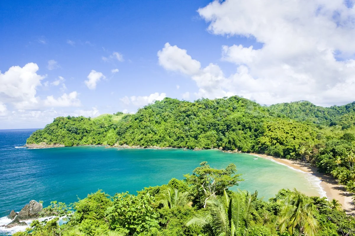

UNPARALLELED LANDSCAPES
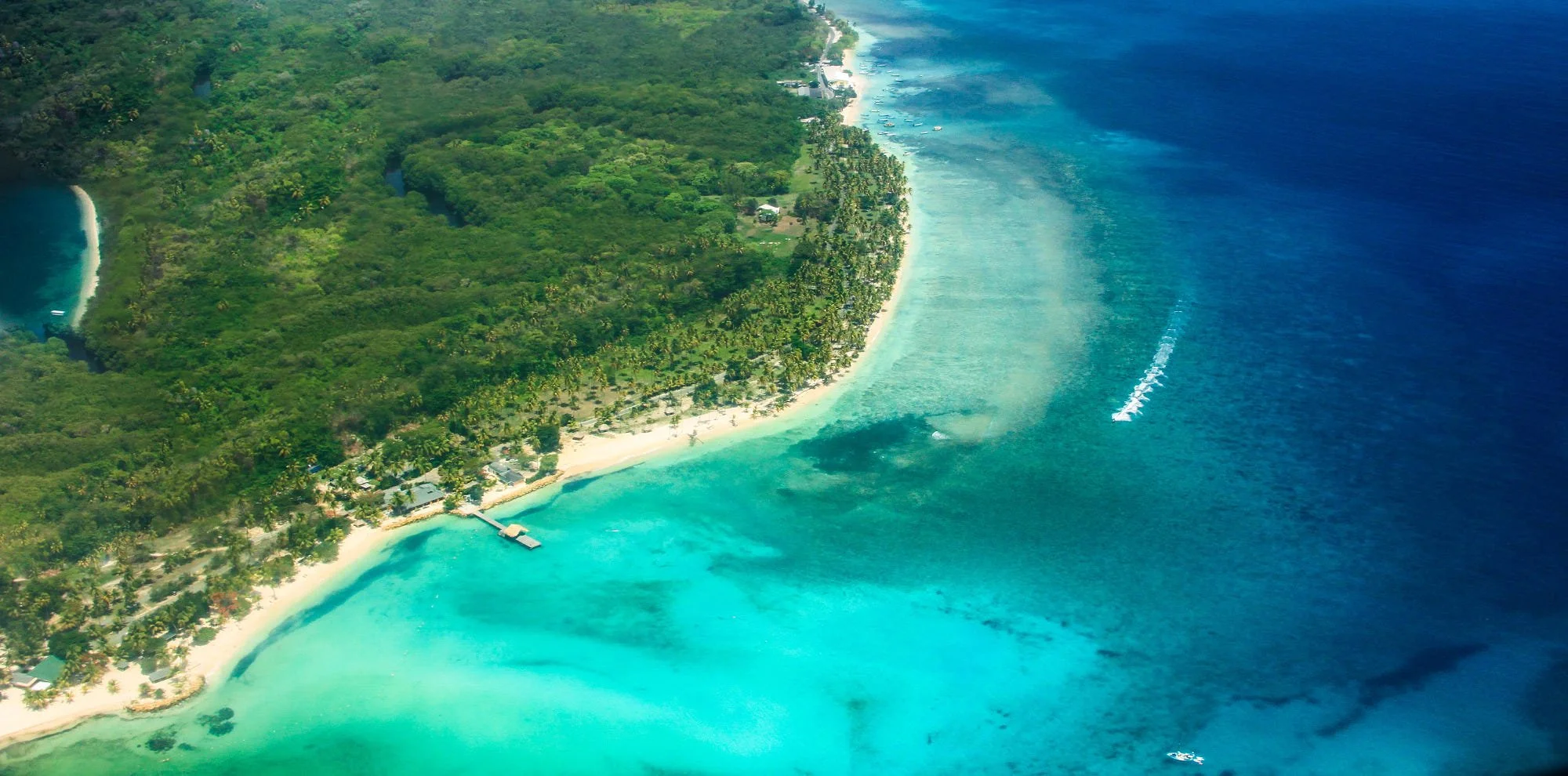
Blessed with numerous secluded beaches and rich rainforests, Tobago hosts the most enviable and diverse natural landscapes in the world.
Spanning 116 sqm miles, the small island has a population of just over 62,000 versus 1.4 million people on Trinidad.
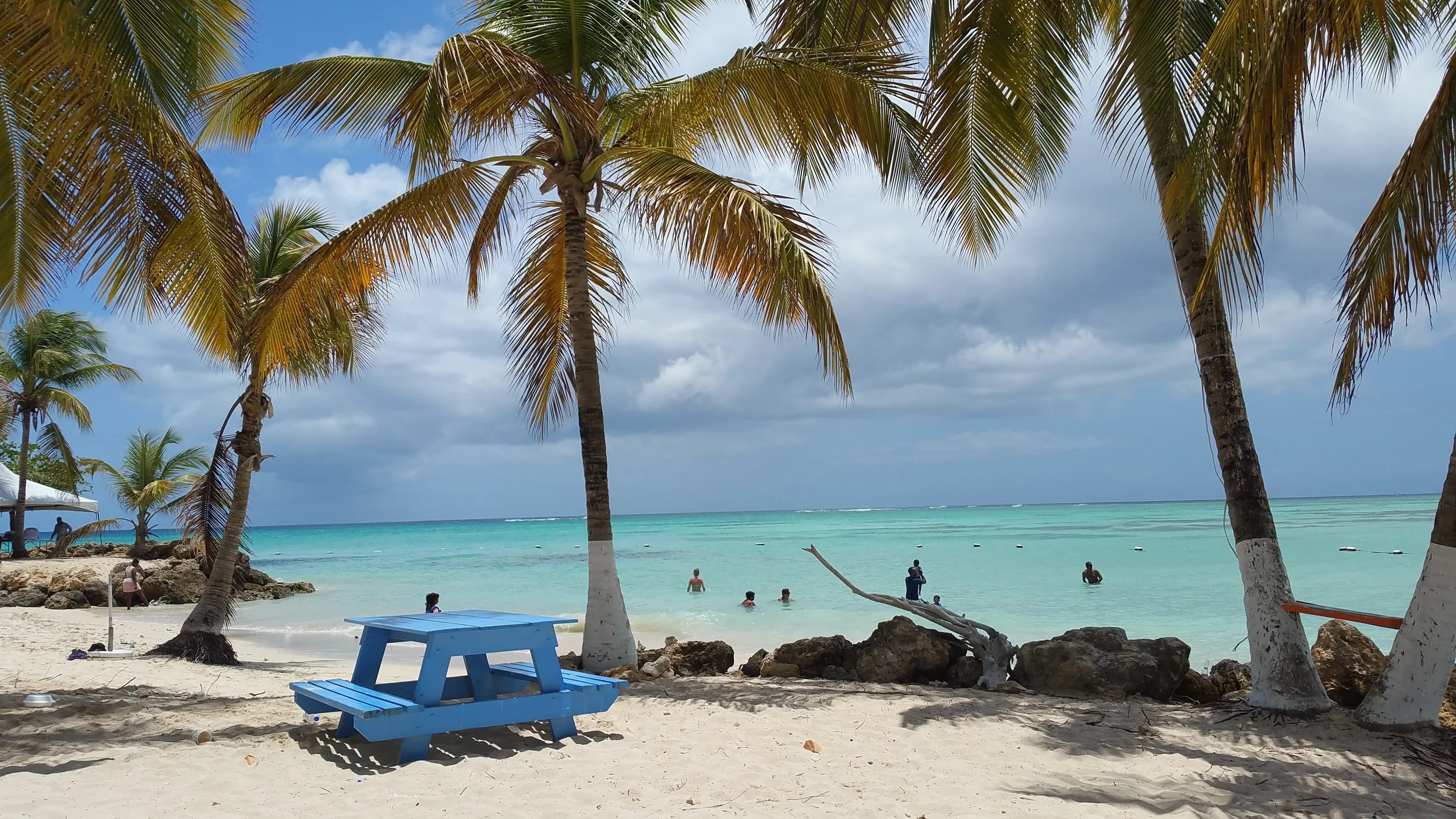
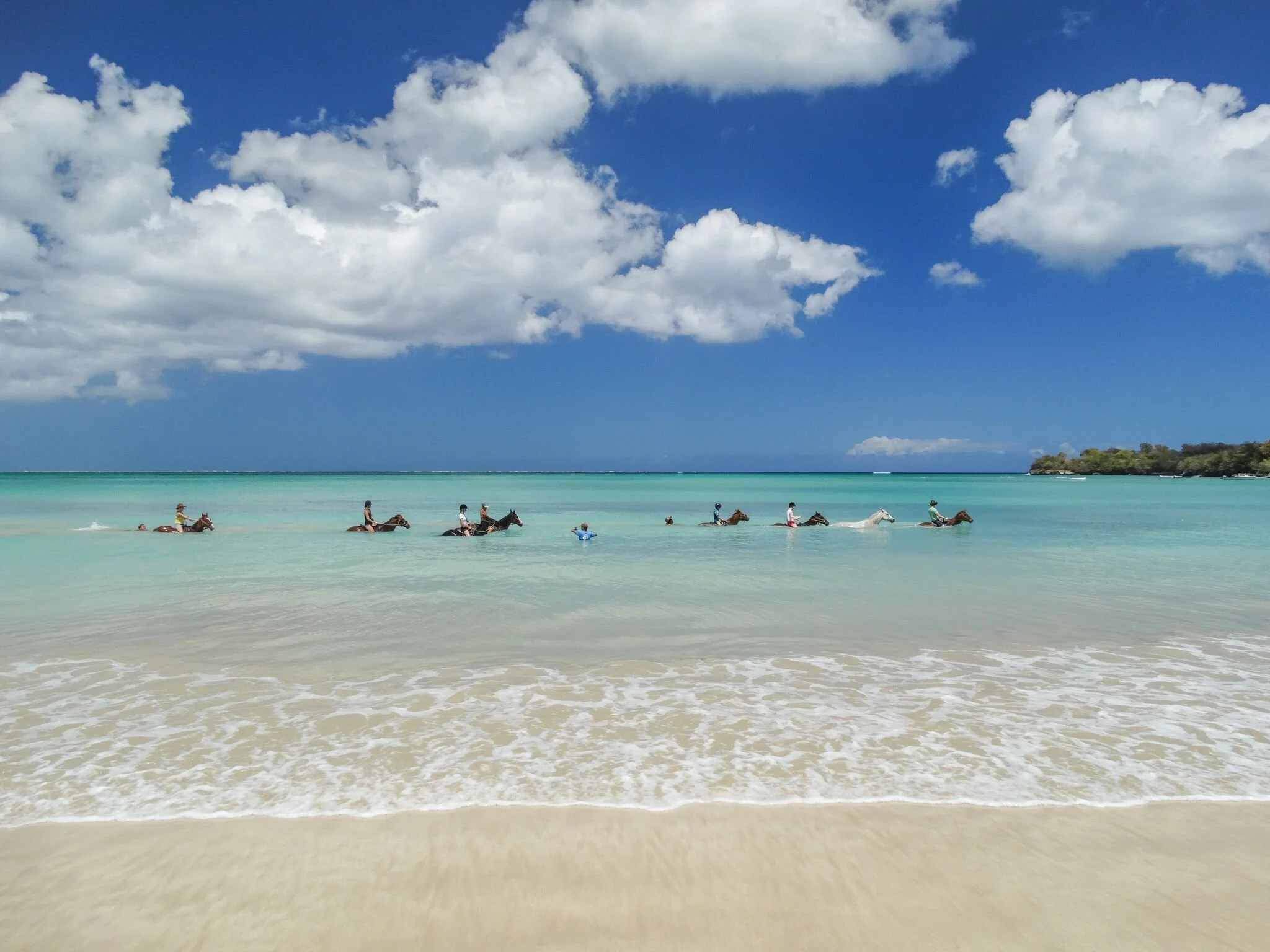
In contrast to the more industrialized Trinidad, Tobago has developed a strong tourism industry, centred on its, beaches, water sports and wildlife. Home to over 6,000 species of flora and fauna, Tobago is a popular destination for beach, bird watching and diving lovers.
Several large resorts have been developed in coastal areas such as Crown Point, Store Bay, Buccoo Reef and Pigeon Point and there are 2 championship golf courses on the island – Mount Irvine Golf Course and the Tobago Plantations Golf Course.
Trinidad & Tobago is located below the hurricane belt and is the most southerly of the Caribbean islands
GETTING TO TOBAGO & PLYMOUTH PENINSULA